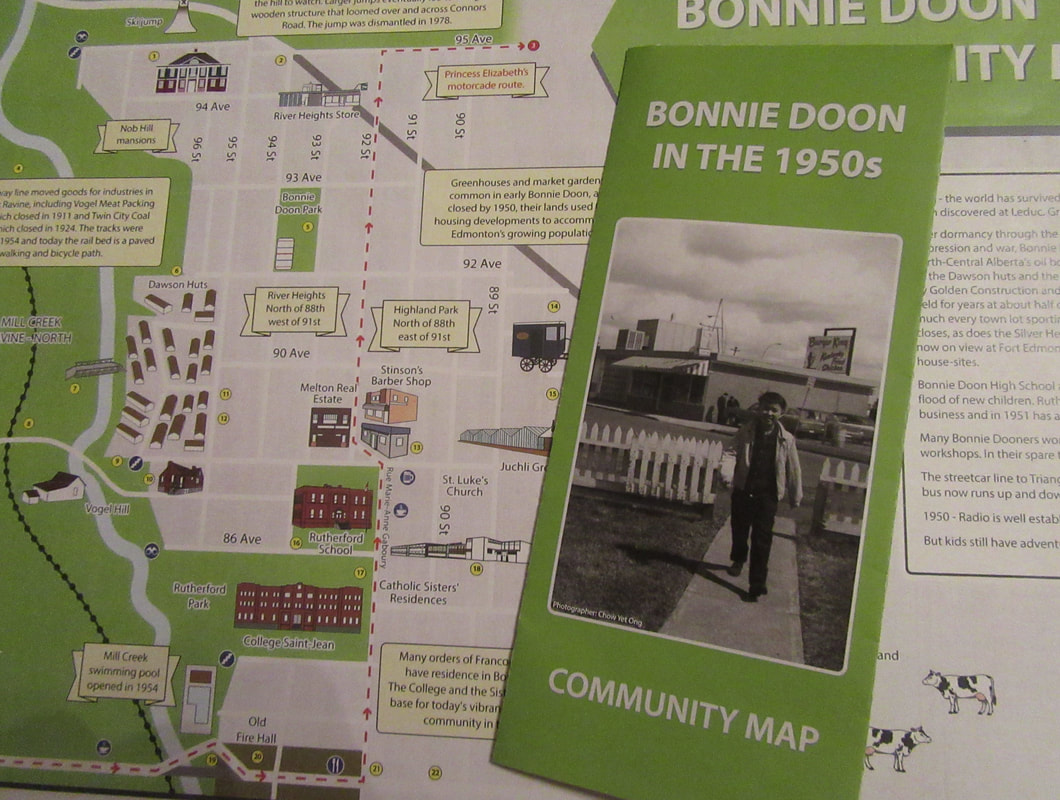
The Map is intended to help people explore the Bonnie Doon neighbourhood as it was in the 1950's and learn about our history. Did you know that huts were placed on a former cow pasture at 88 Avenue to provide housing for veterans returning from World War 2? Or that YESS used to be a Fire hall for horse drawn firewagons? Find out about 23+ historical buildings and locations on this fascinating map of 1950's Bonnie Doon.
The map was developed in conjunction with the book Memories of Bonnie Doon, which will be published in Fall 2018, and is an initiative of Bonnie Doon Community League.
Copies of the map are available at the Idylwylde (Bonnie Doon) Branch of the Edmonton Public LIbrary and the Bonnie Doon Convenience Store.
The map was created by Barb Neil (lead), Craig Pinder (graphics design), Tom Monto (historian) and Alex Monto-Stein (artist). Congratulations on a job well done and thank you to the Edmonton Heritage Council and the City of Edmonton for their support.

 RSS Feed